Universal Geoinformaticians
Consult Ltd
Consult Ltd

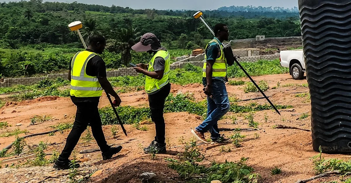


High-precision topographic, cadastral, and bathymetric surveys using advanced technology.
Read MoreSatellite imagery acquisition, processing, and analysis for various applications.
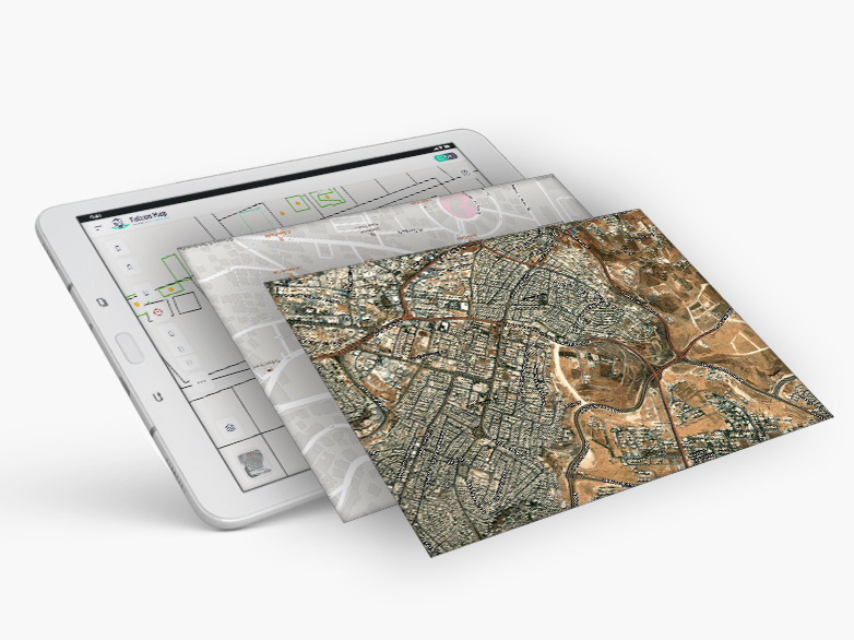
Read MoreCustom GIS database design, spatial data management, and web-based solutions.
Read MoreUniversal Geoinformaticians Consult Ltd, established in 2020, is a prominent Nigerian firm specializing in geospatial technology and consultancy services. Our expertise spans land surveying, remote sensing, Geographic Information Systems (GIS), environmental management, and information technology.